- L’IMBE
-
-
L’IMBE
L’Institut Méditerranéen de Biodiversité et d’Écologie marine et continentale
-
-
- Recherche
-
-
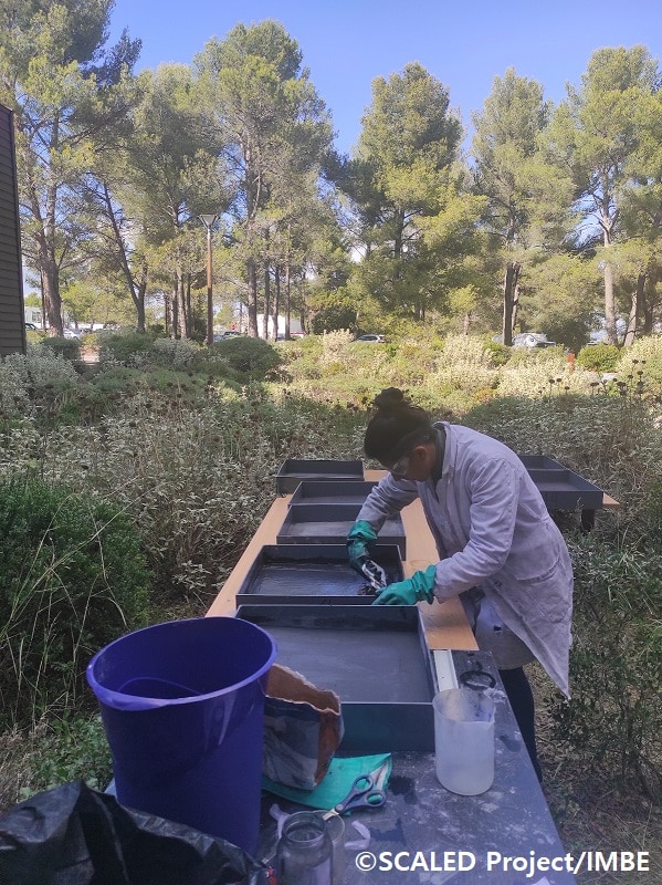
Recherche
Les recherches de l’IMBE se structurent autour de 5 axes thématiques transverses et 8 équipes de recherche.
-
- Thématiques
- Équipes de recherche
- PAHIS - Paléoécologie et Écologie Historique
- BEEM – Biologie, Evolution et Ecologie Moléculaires
- EECAR – Ecologie, Ecotoxicologie & Chimie appliquées à l’Agroécologie et à la Restauration
- POPCO – POpulations, Paysages, Communautés & cOnservation
- ECOSOM - Ecologie fonctionnelle : des systèmes socioécologiques aux molécules
- SANTES – SANté et Toxicologie EnvironnementaleS
- CHIPS - CHImiométrie, Plan d’expériences, Systèmes experts
- NEMO-Nature, Ecologie Marine et Océans
-
-
- Techniques
-
-
Techniques
L’IMBE structure ses services communs opérationnels autour de 5 Pôles techniques.
-
-
-
- Formation
-
-
Formation
La formation, c’est bien sur les formations dispensées à l’Université (L, M, D) mais aussi la formation par la recherche (stages)
-
-
-
- Communication
-
-
Communication
La diffusion de nos résultats scientifiques est au cœur de notre mission : elle permet de partager et de rendre accessibles les avancées en recherche à un public élargi. Au-delà des publications dans des revues spécialisées, l’IMBE déploie de nombreux moyens pour vulgariser les connaissances et les rendre compréhensibles et attractives à des audiences diversifiées. Par des actions concrètes et des outils innovants, nous nous engageons à rapprocher la science de tous, afin d’établir un dialogue permanent entre les sciences, la recherche et l’ensemble de la population, notamment les plus jeunes.
-
-
- IMBE TV