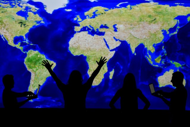
Monitoring Habitat Loss using Remote Sensing
Under the guidance of Dr. Louis Reymondin and Dr. Andrew Jarvis, over a span of 3.5 years (2009 to 2012), I actively contributed to both the calibration/validation processes and the generation of early warnings regarding habitat loss in Latin America. This was achieved using MODIS satellite images and neural networks. Working in collaboration with local and national governments, our goal was to establish a direct link between the technical data produced by the Terra-i tool (developed by Louis Reymondin) and actions on the ground, as well as political decisions, aimed at halting or mitigating deforestation in biodiversity hotspots of Latin America.
Photo credit : CIAT, Terra-i Team


